VW1 BENTHIC HABITAT MONITORING (BHM) SURVEY (#110)
Offshore wind mariner update NO. 110
STATUS: Active
The R/V CATAPULT, R/V TIOGA, OSV NANTUCKET SHOALS, and ATLANTIC SURVEYOR will conduct benthic habitat monitoring survey operations in coordination with Woods Hole Group and Geo Subsea, along the Vineyard Wind 1 cable route and surrounding waters. The work will take place during the period from September 6th to mid-October. Data collected during this campaign will provide the baseline benthic habitat data required for future analysis of the benthic environment along the Vineyard Wind 1 cable route. The F/V CHICAWA will be acting as a scout vessel.
Standing by on VHF channel 16
LOCATION(S): Offshore Export Cable Corridor
VESSELS:

R/V TIOGA
Nearshore grab sampling: beginning 9/13, apx one week
Sand Lance (Ammondytes dubius and A. americanus) surveys: beginning 9/30, apx 1.5 weeks
LOA: 60 feet
MMSI: 366938840
Flag: US

R/V Catapult
ROV Survey: beginning 9/20, apx 3 weeks
LOA: 35 feet
MMSI: 338366832
Flag: US

osv nantucket shoals
Multibeam Surveys: beginning 9/6, apx 4 days
LOA: 45 feet
MMSI: 368296240
Flag: US
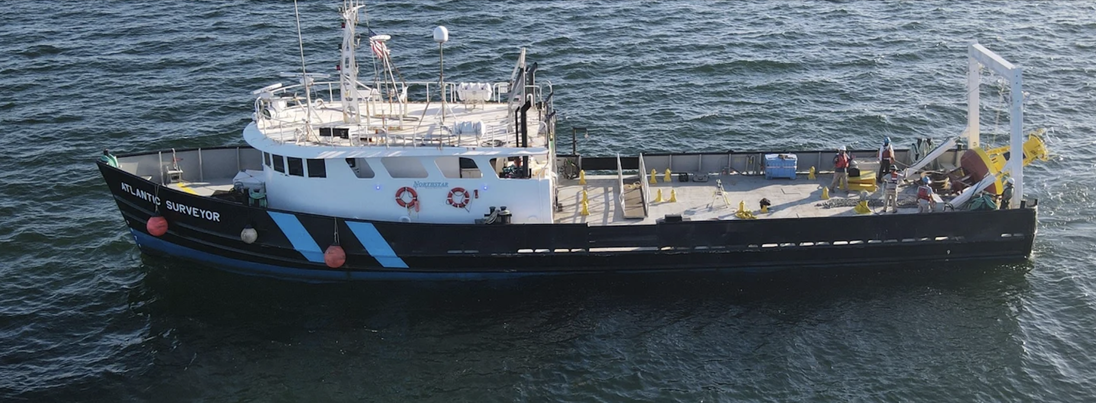
ATLANTIC SURVEYOR
Offshore grab sampling: beginning 9/30, apx 5 days
Flag: USA
Length: 110’
MMSI #: 368244130

F/V CHICAWA
Flag: USA
Length: 32’
MMSI #: 368213310

VINEYARD WIND
Jeannot Smith, Marine Liaison, Cell: 904-613-0134 • Email: jsmith@vineyardwind.com
Travis Lowery, Fisheries Liaison, Cell: 508-728-4529 • Email: tlowery@vineyardwind.com
VineyardWind.com • info@vineyardwind.com • 508-717-8964
700 Pleasant Street, Suite 510 • New Bedford, MA 02740